Kent Maps and Tithe award
schedules, apportionment etc.
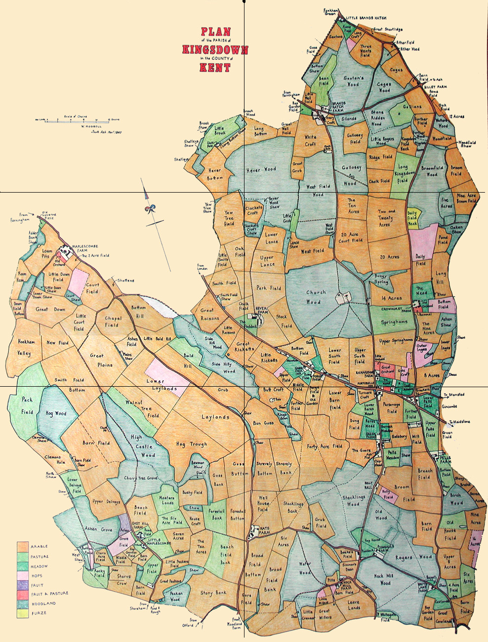
Kingsdown
(West), - Tithe Map - land use plotted
Click on individual named
sections to view larger scale map
North-West
North-East West
Centre East Centre
South-West South-East
Drawn by Frank Bamping of the Tithe Map
Studio 1983, The Tyger Press, London N8
North-West
North-East West
Centre East Centre
South-West South-East
Back to Kingsdown
(West) Maps etc Back
to List of Kent Maps, Tithe awards/schedules
This website is constructed
by enthusiastic amateurs. Any errors noticed by other researchers will be
to gratefully received
so that we can amend our pages to give as accurate a record as
possible. Please send details too localhistory@tedconnell.org.uk
|