Aspects of Kentish Local History

Home
News & Events
  Publications Archaeological
Fieldwork
Local & Family
History
Information
by Parish


Kent Maps and Tithe award schedules, apportionment etc.

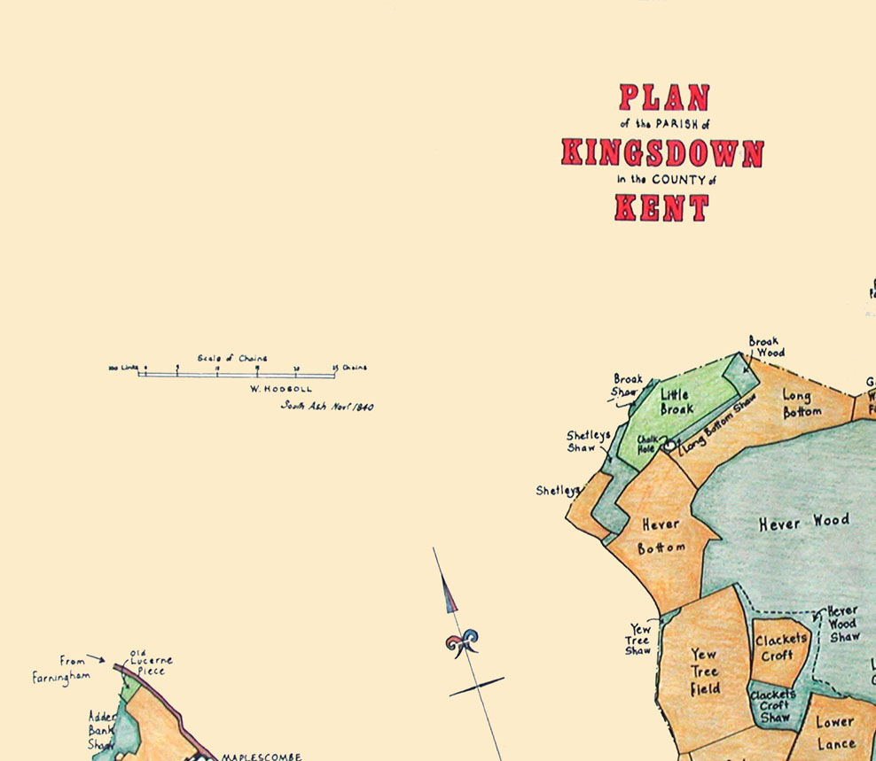
Kingsdown (West) Tithe Map, land use plotted. North West Section

Click on individual named sections to view larger scale map

North-West     North-East      West Centre      East Centre     South-West     South-East


Drawn by Frank Bamping of the Tithe Map Studio 1983, The Tyger Press, London N8

North-West     North-East      West Centre      East Centre     South-West     South-East

Back to whole map       Back to Kingsdown (West) Maps etc          Back to List of Kent Maps, Tithe awards/schedules

This website is constructed by enthusiastic amateurs. Any errors noticed by other researchers will be to gratefully received
 so that we can amend our pages to give as accurate a record as possible. Please send details too localhistory@tedconnell.org.uk